

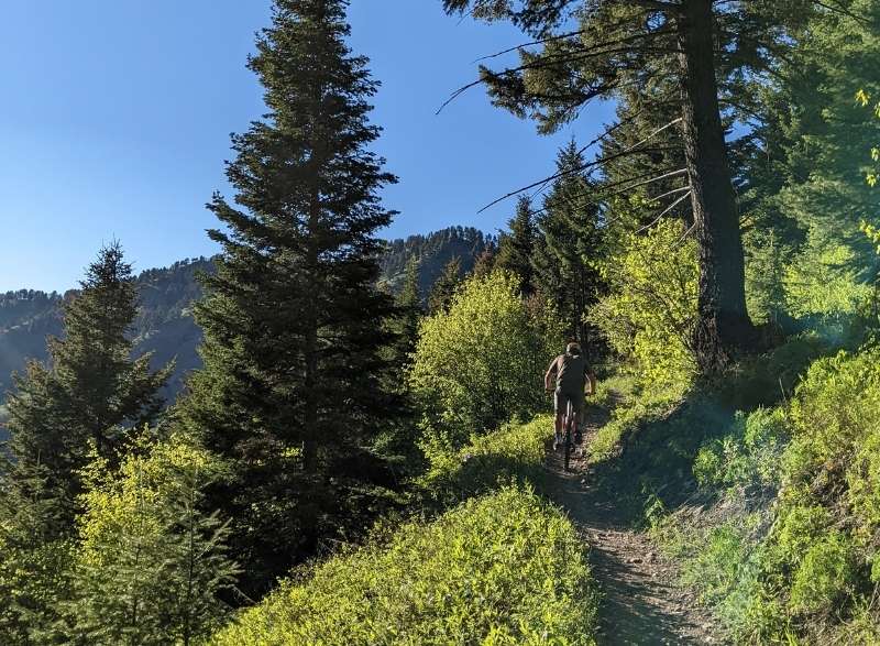
We believe that mountain biking in Bozeman, Montana, should be enjoyed by all skill levels! Our last post focused on the top 5 Bozeman trails for beginner mountain bikers. Once you have mastered entry-level trails like Mountains to Main, Sourdough Canyon, and Triple Tree, you are ready for more progressive trails. Today’s blog focuses on the top intermediate trails to ride in Bozeman.
What Are Intermediate Trails?
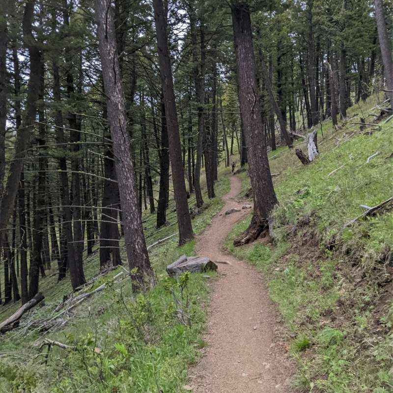
Intermediate trails represent an increased difficulty over beginner trails. These trails are for riders who feel comfortable riding beginner trails and feel that their skills and fitness are ready to overcome more challenging obstacles. Intermediate trails are usually designated by a blue square. In general, intermediate trails are slightly narrower than their green counterparts and can offer challenging features that may or may not have options to ride around.
Riders looking to take on a blue trail should feel comfortable navigating roots, rocks, and moderate drops. It is important to note that not all blue trails are created the same. Because trail ratings are subjective, you will sometimes find variations in the levels of trail features. That is why it is always a good idea to pre-ride, re-ride, then free ride!
#5 Truman Gulch
Truman Gulch is a great mountain bike ride for all types of riders. Truman gulch is a dense, forested drainage that follows a creek up to the Bridger Foothills trail. The ride starts with a moderate climb, mixed with short steep sections that will give the rider something to look forward to on the way down!
What To Expect On Your Ride:
If you ride Truman Gulch as an out and back, the ride is 5.5 miles from start to finish, with 1,400 feet of elevation gain.
From the trailhead, expect to climb for a decent amount of time. Depending on your pace, the climb could take anywhere from 45 minutes to 2 hours.
You will encounter some stream crossings during the first mile of the climb. After the stream crossings, the trail gets steeper and more technical with rocks and roots. At about 2 miles into the climb, you will see the trail splits, and there will be a small trail coming out from the left- STAY RIGHT and keep climbing! Towards the end of the climb, there are approximately 8 switchbacks. Once you reach the switchbacks, you are almost to the top!
“The Top” will look like an intersection. From here, you can take in the beautiful views of the valley.
If you want to extend your ride, you can take a right and keep going on the Bridger foothills trail and head south to meet up with the Middle Cottonwood Creek trail. If you take a left at the top, you will eventually reach Ross Pass. Not looking to extend your ride? No problem! Turn right back around the way you came and enjoy the descent down Truman Gulch!
Tip: control your speed, especially on the switchbacks! Remember that uphill users have the right of way. Also, remember that we share the trail with all sorts of recreational users, such as hikers, horseback riders, and dirtbikes. Always keep your ears and eyes peeled for others and wildlife.
Directions to get to Truman Gulch trailhead:
From Springhill road, take a right on Penwell bridge road, which terminates at Walker road. Take a left and look for Forswall road. Stay on that for a few miles, and you should see parking for the trailhead of Truman Gulch.
Best bike to use for Truman Gulch:
Any mountain bike will do the trick. This trail is enjoyable on cross-country mountain bikes, trail bikes, enduro bikes, and hardtails. There are fair amounts of rocks, roots, and narrow sections of the trail. If you’re rocking a hardtail, be prepared for a technical challenge as you choose the correct lines.
#4 Leverich Canyon Trail
Leverich is a purpose-built mountain bike trail close to town and a blast to ride! Leverich is likely the most popular mountain bike trail in town and is located in the Gallatin Forest. It is a short loop but not necessarily easy, as the climb is steep.
What To Expect On Your Ride:
You’ll start the ride with consistent climbing that will bring you to the top of a ridge. Along the climb, you can see beautiful views of Gallatin Valley.
To reach the descent, keep going straight at the top of the climb. (there will be a trail junction) The downhill is smooth singletrack with turns, berms, and some steep angle switchbacks.
All in all, Leverich is a lollipop loop that is 5 miles. You will gain around 1,200 feet of elevation gain, and it will take you anywhere from an hour to an hour and a half to complete, depending on your speed.
Directions to get to Leverich trailhead:
From downtown Bozeman, drive south on 19th Ave, and turn left on Nash road. Drive to the first stop sign and turn right on South 3rd. The road turns to dirt and eventually to the trailhead.
Best bike to use for Leverich Trail:
Leverich Trail is accessible to most mountain bikes. Cross-country mountain bikes will handle the climb the best, but be cautious of stream crossings and root systems from trailside trees. Trail bikes and enduro bikes will eat up the rewarding decent at the end. Whatever you decide to ride, keep an eye out for hikers coming up the downhill section as you return.
#3 Corbly Gulch Trail
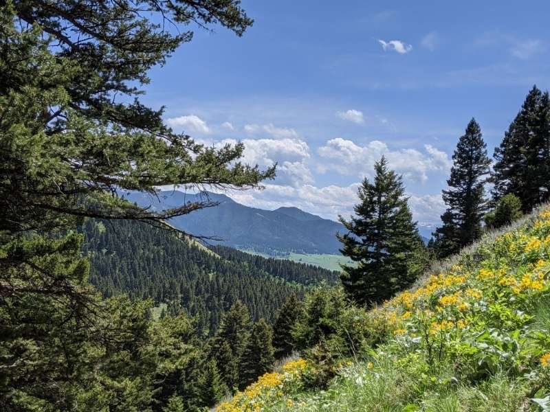
Photo credit: https://www.alltrails.com/trail/us/montana/corbly-gulch
Corbly Gulch is an out-and-back mountain bike trail located in the Bridger Range. This exciting trail presents challenges in the form of over 2,000 feet of climbing, creek crossings, and rocky tech. Once you get to the top, there are options to continue on, or turn around and enjoy the fruits of your climbing labor!
What To Expect On Your Ride:
Once you reach the start of the trail, the single track begins. The first half of the ride climbs the hillside above the creek and is primarily switchback climbs through sage and forest. Once you reach the creek crossing, you are a little over halfway done with the climb.
You will continue climbing to reach spectacular views of the Gallatin Valley, the Gallatin Range, Tobacco Root Mountains, and the Highland Mountains. As you climb higher, the trail becomes more rocky, technical, and open. (You pop out of the woods as you get towards the top).
When starting the ride at the lower lot, Corbly Gulch is about 9.3 miles. Expect to gain about 2,200 feet of elevation gain. Depending on your speed, this ride could take anywhere from 1 to 2 hours
Tip: control your speed on the way down the gravel road at the end of your ride. It’s easy to pick up a lot of speed, and there are deep ruts and rocks that should be ridden with caution. It’s also important to remember that a vehicle could be coming up the road.
Directions to Corbly Gulch Trailhead:
From Bozeman, drive north on North 7th Ave. This will turn into Frontage Road. At the first stoplight (Springhill Road), turn right. Drive on Springhill for approximately 9 miles, then turn right on Springhill community road. Drive a mile and a half and turn left on Corbly Gulch Rd. Drive to the end.
Technically, there are two parking options for Corbly- an upper and a lower. Parking at the upper lot is only attainable if you have a 4-wheel drive vehicle that can handle steep technical terrain for about a mile. (High clearance vehicle required) Using the lower lot is a much more realistic option for most people.
The lower parking space is located at the end of a dirt road. If you are choosing to start your ride from the lower lot, be prepared to climb (with your mountain bike) up a steep gravel road to get to the start of the trailhead. This gravel climb is the most intense portion of the ride, and the fun really begins when you get to the single track. Consider the dirt road an intense warm-up.
Best bike to use for Corbly Gulch:
This trail is fun on a cross country bike, trail bike, enduro bike, or a hardtail mountain bike. This trail is open to dirt bikes and hikers, so beware of other users on the trail. Remember that uphill users have the right of way.
#2 South Cottonwood Creek Trail
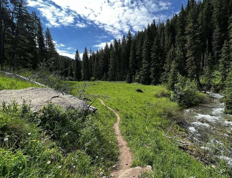
Photo credit: https://www.alltrails.com/trail/us/montana/south-cottonwood-creek-trail
South Cottonwood Creek is a scenic creekside trail that is close to town, located in the Gallatin Forest. This trail is popular amongst mountain bikers, hikers, and trail runners. Always make sure to yield to others when necessary!
What To Expect On Your Ride:
South Cottonwood is an out-and-back trail ride that starts with a mellow climb. Throughout most of the ride, you are covered with the shade from the dense forest. The first three miles of the trail are fairly mellow and rolling along South Cottonwood Creek. Throughout the trail, there will be several creek crossings with small bridges available to use. The farther along you go, the more steep and technical (rocky) the trail becomes. You can turn around at any spot.
The most common turn-around spot is to the third footbridge, which all-in-all entails 5 miles of riding, about 500 feet of elevation gain, and will take a little over an hour (depending on your speed.)
If you want to make your ride longer and more challenging, keep going after the 3rd footbridge creek crossing. The turnaround point could be after 6 miles, where you would reach the bottom of Fox Creek.
Tip: Want to make the ride longer or harder? Turn right halfway up the climb to reach Wheeler Gulch. This challenging trail offers a difficult climb and eventually takes you through a beautiful green meadow and has a fun and steep descent on the way down.
Directions to South Cottonwood Creek trailhead:
From Bozeman, take South 19th Ave South. Keep going until South 19th ends at Cottonwood Road, then turn left at Cottonwood Road. This road will descend to South Cottonwood Creek, turn left on Cottonwood canyon and drive to the end.
Best bike to use for South Cottonwood Creek:
A cross-country mountain bike, a trail bike, and a hardtail mountain bike would be most suitable for this ride.
#1 Copper City Trails
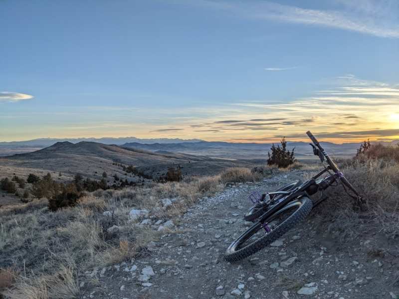
Copper City is a purpose-built mountain bike trail system located just north of Three Forks, MT. Created by the Southwest Montana Mountain Bike Association, in partnership with the Bureau of Land Management, this non-motorized trail system encompasses a wide range of trails, including beginner friendly, intermediate, and advanced.
The Copper City system has various trail options, depending on what type of riding you want. Copper City has everything from,
- Technical and rocky ridgelines
- Fast, swooping, flow trails
- Downhill-only trails
- Kid-friendly trails (Green Eagle)
- & a youth-focused skills park with technical features and a pump track!
Copper City is a perfect shoulder season spot due to its low elevation. The landscape is desert-like and typically offers great riding conditions for spring and late fall mountain biking. All of the trails are named after regional historic mines.
Tip: Copper City does not ride well when conditions are muddy, as the trails are mostly clay-based. It is important to not ride these trails when conditions are wet, as the trails get greasy, and riding on greasy trails will cause significant damage to the trails.
What To Expect On Your Ride:
With so many trail options to choose from, we decided to highlight four of our favorites. Thank you to Beartooth Publishing and their Southern Montana Singletrack book for the following trail information!
Green Eagle
This is a 3.7-mile loop directly from the trailhead. It is beginner friendly and also fun for advanced riders. Most people ride Green Eagle counterclockwise.
High Ore
High Ore is 4.5 miles and takes off from the top of the Green Eagle loop. The Junction is well signed. High Ore will lead you back to the rest of the trails. It is an intermediate trail that gets more technical the farther you go. There are some fun slickrock sidelines to enjoy.
High Ore will go past the downhill trails and several intersections as it winds its way up the first major ridge and climbs up to a high point to the northeast.
Motherlode
Motherlode is 4.1 miles and will begin to test your intermediate abilities. It is best ridden from the top of High Ore. From the top, this trail drops through ancient seabed slickrock and winds down a tight gully. Just before it bottoms out in Frying Pan Basin, you will pass an intersection with the Boss Tweed trail on your left. It will then switchback up to another high ridge. (This is probably the best exit from the backside.)
There will be an intersection at high ore, and from here, the rider gets to enjoy a fun downhill with rock features and twisty berms. There will be a short climb to navigate at the end.
Boss Tweed
Boss Tweed is 2 miles and labeled as intermediate, but it may be harder. Although this trail can be ridden in either direction, it is designed to be ridden southbound.
Best bike to use for Copper City:
Copper City offers so much variation in terms of trail type. There’s a trail for any mountain bike at Copper City. Depending on the type of riding you are looking to do, will have more effect on the right bike for the job. If you’re not sure of the kind of riding you are looking to do, stop by the shop. We would be happy to talk through the many different bike options.
Always Remember Trail Etiquette
Following trail etiquette ensures that intermediate riders in Bozeman will enjoy these amazing trails for years to come. Some basic trail etiquette rules include,
- Bikers must yield to all other trail users. Step off the trail to allow hikers, trail runners, and equestrian users to pass.
- If you are traveling downhill, yield to bikers traveling uphill.
- Avoid riding when your tires leave a track. Do not ride muddy trails.
- Always control your speed and be on the lookout for others.
Owenhouse Cycling Is Your Local Guide Since 1879
We listed our top 5 favorite intermediate rides in Bozeman, but that’s not all Bozeman offers for intermediate riders. If you ride Truman Gulch, Leverich, Corbly Gulch, South Cottonwood, and Copper City and want more, stop by the shop! We look forward to sharing all of the amazing local trails!
If you need a rental bike or have any questions regarding gear or the right bike for each local trail, feel free to give us a call or come into the shop. We’d be happy to help you find the right gear and bike to take on all that Bozeman has to offer!

